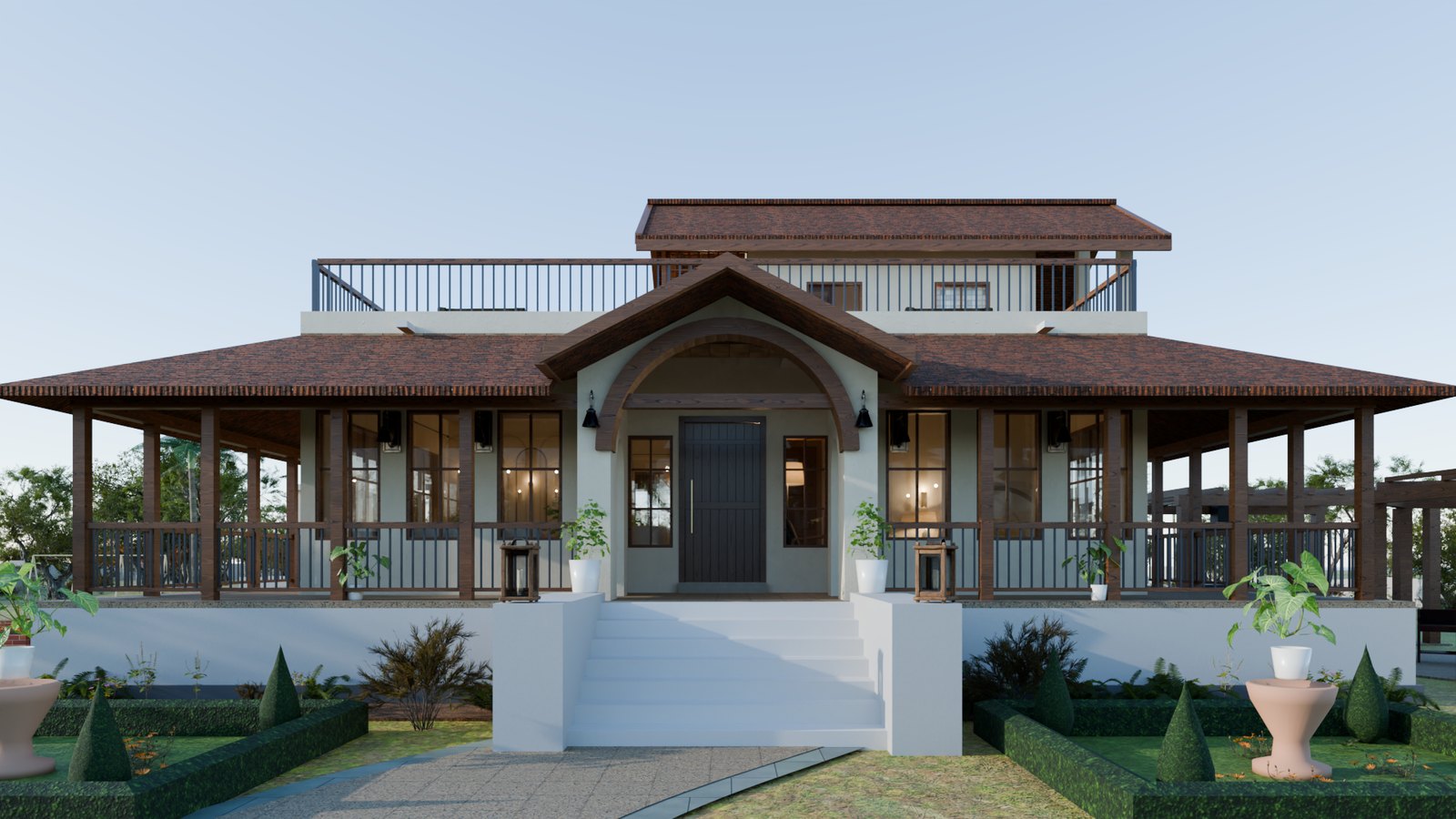
Structure · Village Amoni, Bhopal
23°22′07″N 77°32′33″E
Geometry generated in code from the architect's dimensions · three.js + three-gpu-pathtracerClick anything to see what it is · drag to orbit · scroll to zoom to the pointer · double-click to focus · 1–9 stations · W walk · L layers · P path tracing · H hide panels · F full screen
The river raised over its normal level, spreading over the surveyed ground wherever it can reach from the channel. Its surface is level, at the model's river level (the survey's lowest river point, at the east bend); the survey's river edge near the footbridge is about 2 m higher, so there a real flood may stand up to 6 ft higher than drawn. Indicative; to check on site against the village's flood marks.
15 May, clear. Each surface's temperature from the air's, the sun it gets at this hour (its real shade), how much it absorbs and stores, and how much it sheds by evaporating. Move the time slider to see the day. Indicative.
A shallow-water simulation on the surveyed ground, 4 ft cells: the black cotton soil takes about 40 mm/h into its cracks in June until about 25 mm has gone in, then about 2 mm/h; roofs fill their tanks; the recharge pits and the pond take what reaches them. Time-lapse; indicative.
Mean air speed at window height with every door and window open. A 2-D slice: air cannot pass over or under, so read these as an upper bound.
Geometry generated in code from the architect's dimensions · three.js + three-gpu-pathtracer
Click anything else to see what it is
Village Amoni · Bhopal · Madhya Pradesh
Walls, clay-tile roofs and teak joinery are generated in your browser from the architect's dimension table; the furnished interiors follow. All of it is lit by the 21 March sun over Bhopal.
The view is locked until the still finishes. Keep this tab open.
Right-click the image and choose “Save image as”. On a phone or tablet, press and hold it.